
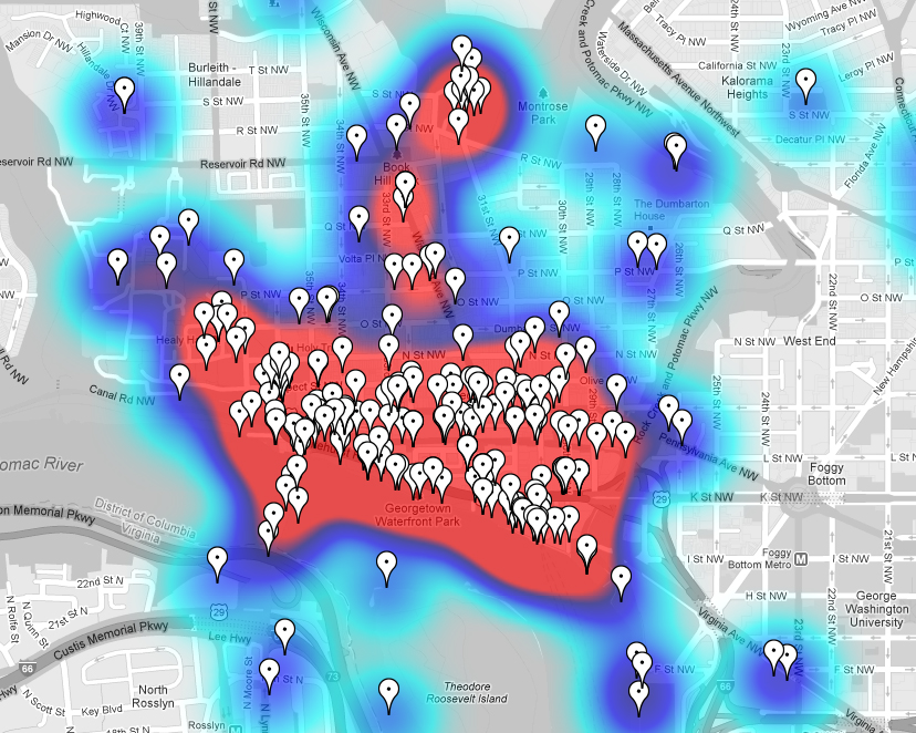
The inestimable M.V. Jantzen has pulled together a nifty new website that shows where in Georgetown people take the most photos (and lets you quickly browse them).
Taking photos from Flickr that have been geotagged, the website applies a heat map to show where the greatest concentration is. (So, yes, it’s limited just to geotagged photos on Flickr, but that’s still a bunch of photos)
As you can see from the screen-capture above, there’s a heavy concentration along M St. But there’s also a pretty heavy concentration along the waterfront. If such a map were made ten years ago, that probably wouldn’t be true.
Anyway, fun little tool (it works for other neighborhoods too).


You must be logged in to post a comment.