
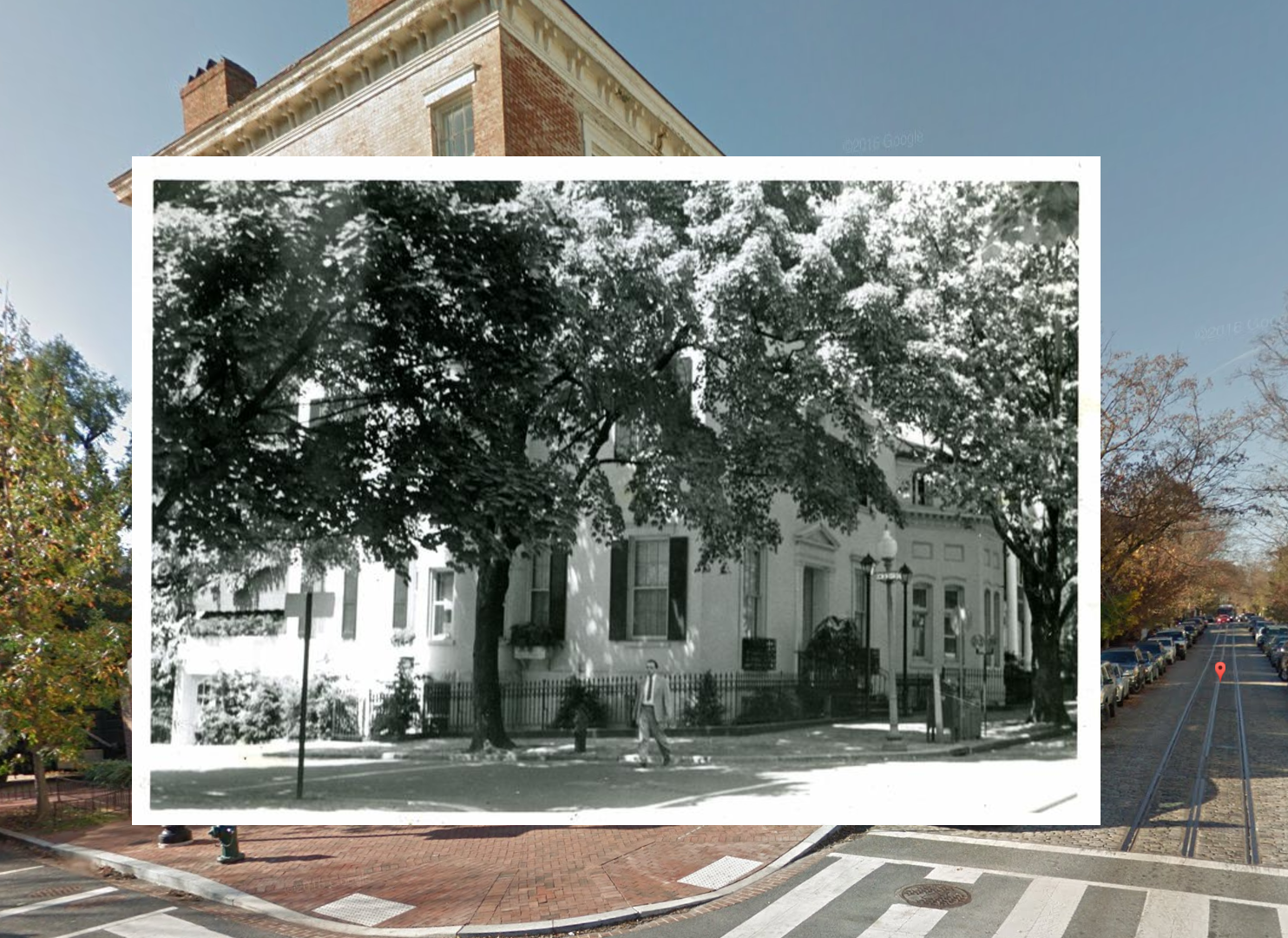
CityLab published an article yesterday discussing the great life’s work of DC resident from the last century: John P. Wymer. As a personal hobby, Wymer spent thousands of hours between 1948 to 1952 charting the geography of the District and taking thousands of photos. After decades of the photos being hidden away, the work of a dedicated librarian is making them available again.
Wymer ultimately took 4,000 photos of average life around DC. Jessica Richardson Smith, the librarian, is meticulously digitalizing these photos and merging them with Google Streetview to enable you to quickly place all the photos on the map. She has already digitalized about half of the photos and the map can be found here.
Of the photos she’s uploaded so far, there are dozens of photos from around Georgetown. Some scenes look virtually identical to how they appear today, but many are starkly different (for instance the waterfront photos are not surprisingly quite different).
But don’t just keep your browsing to Georgetown, the photos come from all over DC and you can quickly become lost in them.


Pingback: Now and a Long Time Ago: Lord Baltimore Service Station | The Georgetown Metropolitan