
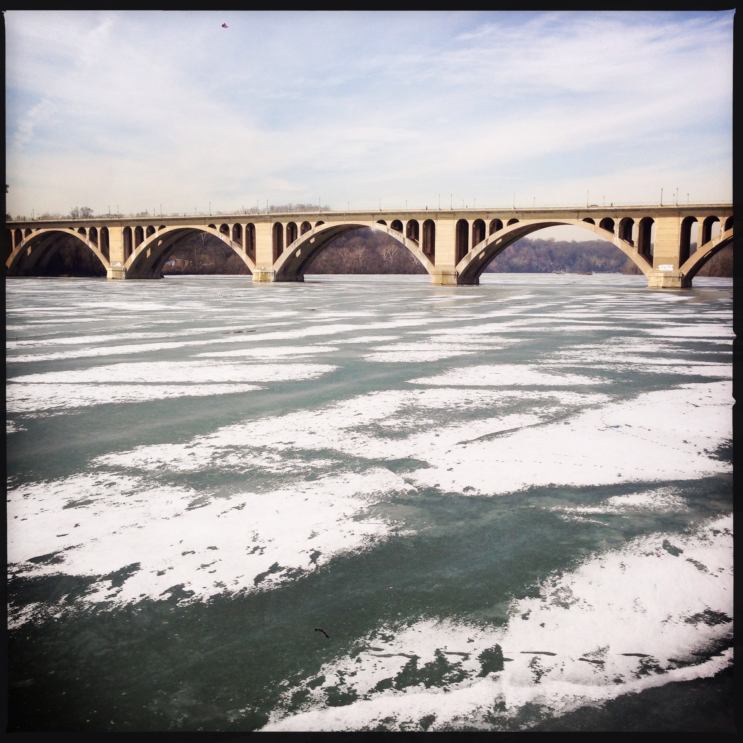
Potomac River
![IMG_3356[1]](https://georgetownmetropolitan.com/wp-content/uploads/2014/02/img_33561.jpg)
As a nice token of appreciation for his participation in the Georgetown 2028 project, the BID gave GM a framed map of what Georgetown will (hopefully) look like in 15 years.
Things to spy on the map:
Filed under Uncategorized
 Photo by H Tarar.
Good morning Georgetown, here’s the latest:
Filed under Uncategorized
While the report was finalized back in December, yesterday was the officially unveiling day for the critically important Georgetown 2028 recommendations.
This morning, GM linked to a few initial takes on the report. The initial focus is, as expected, on some of the bigger ticket recommendations, including the aerial gondola and the Metro, but the report is so much more than the flashier items.
In case you missed it during the holidays, GM will reprint his own summary of the vast report below:
Transportation Elements:
Clang Clang Clang Goes the Trolley
The District government is planning on building a 37 mile streetcar network. The first line is currently being constructed on H St. (in fact a car was just brought to the tracks the other day to begin testing). This line will ultimately snake through downtown and terminate in Georgetown.
The city considered different routes, but appears to have settled on having the streetcar come in to Georgetown on K St. The plan calls for the streetcar to travel on a new transit-only lane down K St. between Mt. Vernon Square to Washington Circle. Unfortunately the current plan calls for the streetcar to return to mixed traffic between Washington Circle and Georgetown.
The Georgetown 2028 transportation working group decided that this would cause unacceptable delays. Thus they concluded that the streetcar should continue to have its own lane west of Washington Circle. This would ensure that the streetcar offered fast and reliable service to and from Georgetown.
Georgetown University has also expressed an interest in the alignment of this line. They would like the line to ultimately connect to the campus. But if it comes in on K St., that goal will be tough to achieve without the demolition of the Whitehurst and the construction of a ramp from Canal down to Water St.
Alternatively, the streetcar could come in on the Whitehurst itself. Pedestrian access could be created via ramps or elevators. Then the streetcar could more easily continue on to the campus.
Either way, the recommendation from the report is just to make sure that the streetcar is fast and reliable all the way to Georgetown. Continue reading
Filed under Uncategorized
 Photo of Georgetown circa 1862 by Matthew Brady.
Good morning Georgetown, here’s the latest:
Filed under Uncategorized
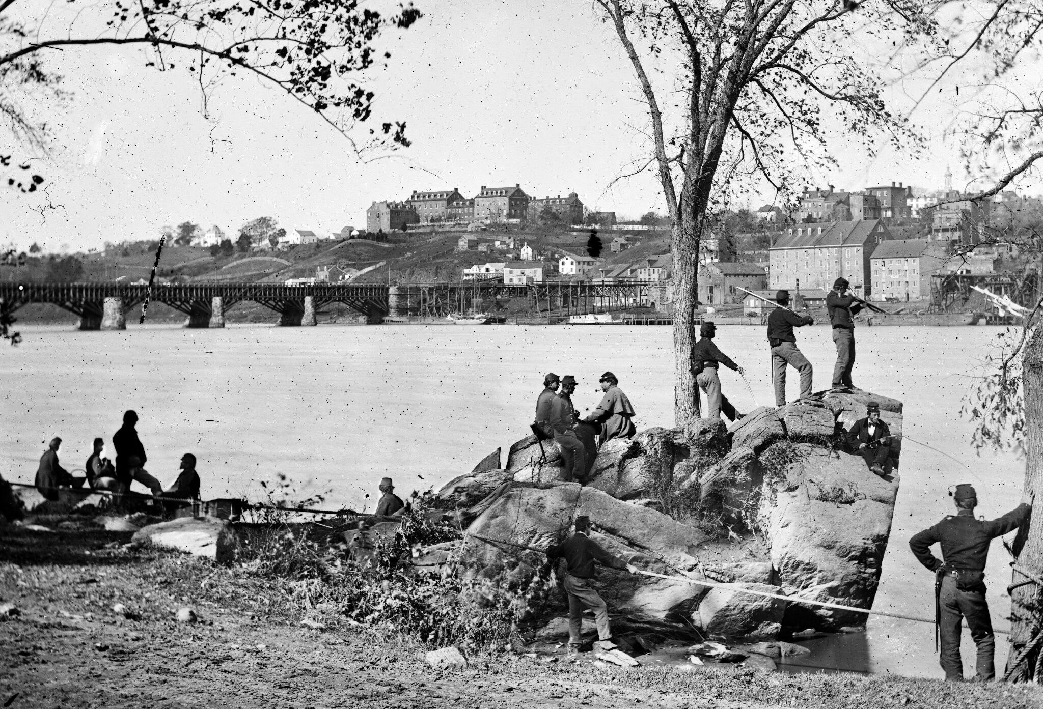
Yesterday, GM linked to the photo above of Union soldiers standing on what is now called Roosevelt Island during the Civil War (back then it was called Mason’s Island). In response, reader Kyle Yost sent in the below photo from Roosevelt Island:

Yup, that’s the same rock, still there albeit somewhat diminished by 150 years of erosion from the river.
It shouldn’t surprise us that boulders deposited here by the glaciers also came beneath Union soldiers’ boots, but to see photographic evidence of it sure does make our brief lives seem all the more insignificant.
Filed under Uncategorized
 Photo by Mr. T in DC.
Good morning Georgetown, here’s the latest:
Filed under Uncategorized









 The Georgetown Metropolitan
You must be logged in to post a comment.